AI sensors and Platform, environmental intelligence, and autonomous drones working as one system
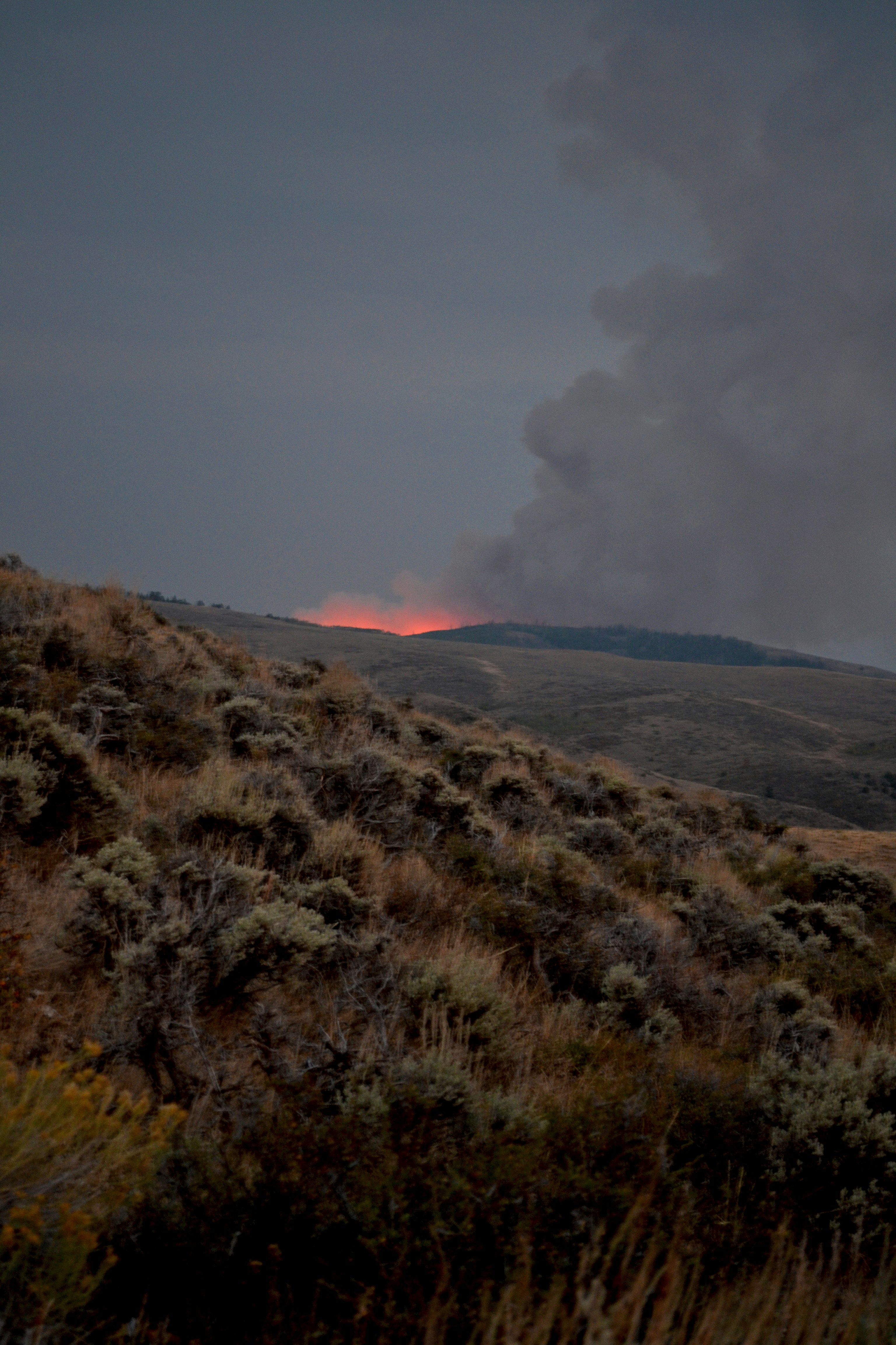
EnviroGrid provides wildfire detection services designed to identify fire ignition at the earliest possible stage, even in remote and inaccessible environments. By combining detector sensors, environmental sensing, resilient gateways, and autonomous drone verification, EnviroGrid delivers high-resolution, real-time wildfire intelligence to utilities, land managers, and critical infrastructure operators
Customer-Driven Detection Resolution
Detection resolution is designed to meet customer-defined requirements, with network architectures capable of achieving sub-50-meter localization where operationally required.
Our approach prioritizes high-resolution coverage without compromising cost, reliability, or long-term operability.
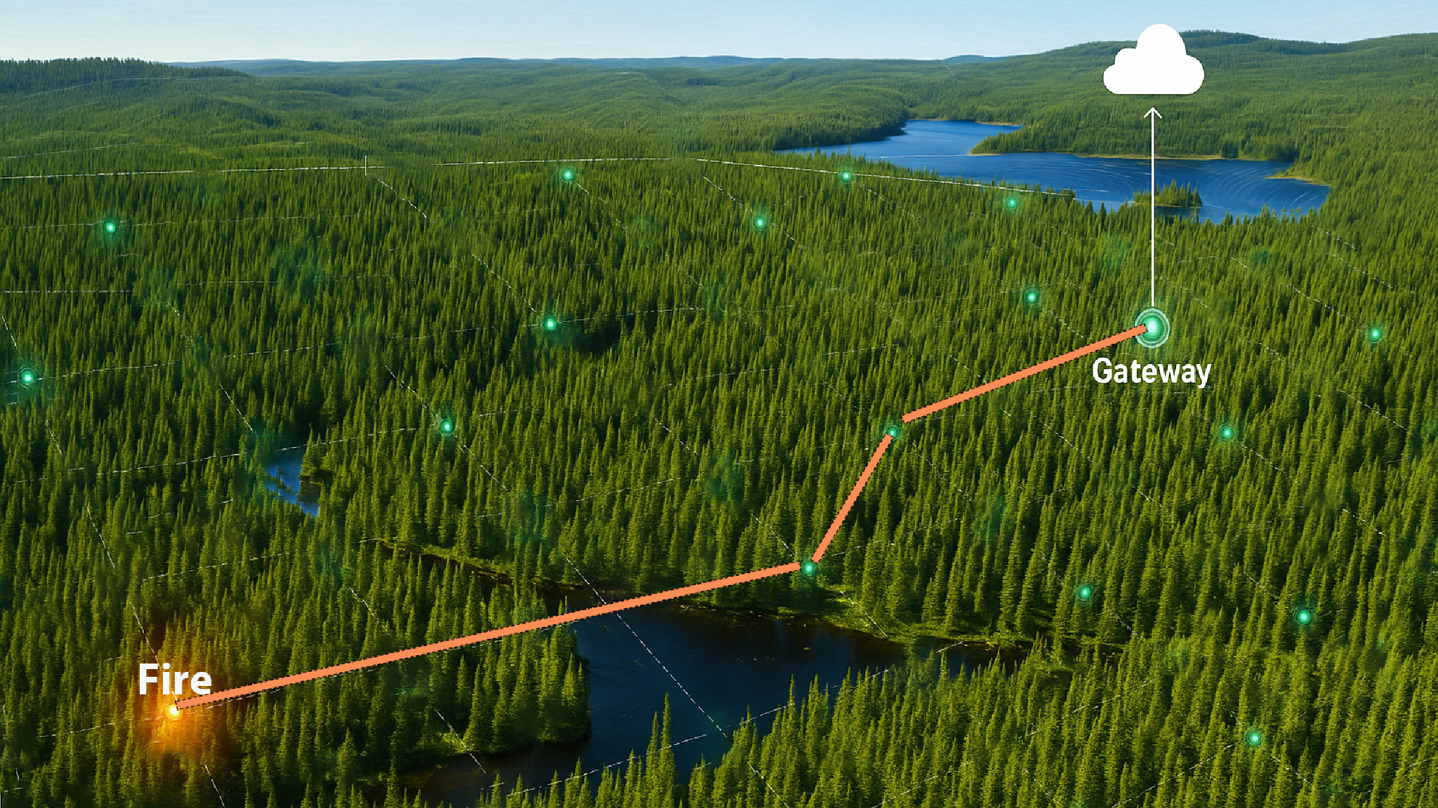
Integrated wildfire detection services combining ground sensors, gateways, and autonomous aerial intelligence for faster, more accurate response.
Site Mapping
Optimal sensor deployment.
AI and GIS analysis are used to assess terrain, risk factors, and access constraints tao determine optimal sensor and agateway placement before installation.
Sensor Deployment
Ground-level detection where fires begin.
Heat-spike, temperature, humidity, and smoke sensors are deployed under canopy to detect ignition at the earliest possible stage.
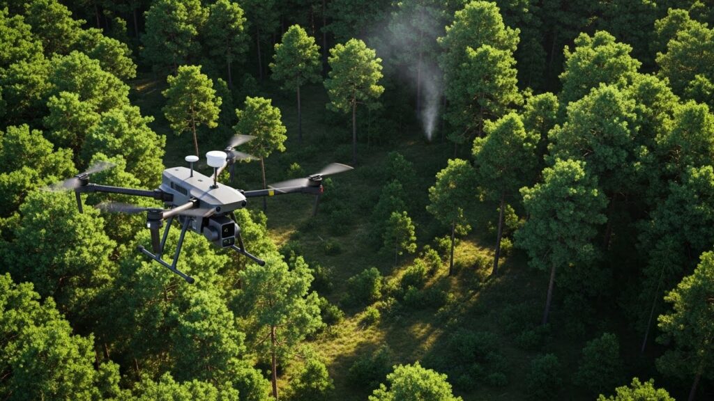
Drone Verification
Rapid aerial confirmation of detected events.
Autonomous drones are dispatched to verify alerts, localize ignition points, and reduce false alarms while increasing response speed.
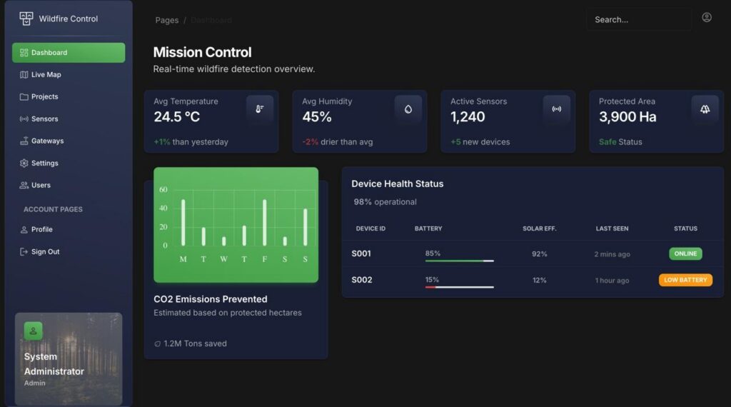
AI Platform
Real-time wildfire intelligence in one system.
All sensor, gateway, and drone data is unified into a live dashboard with alerts, maps, and integrations for operational decision-making.
Connected Smart Ecosystems
Global satisfaction
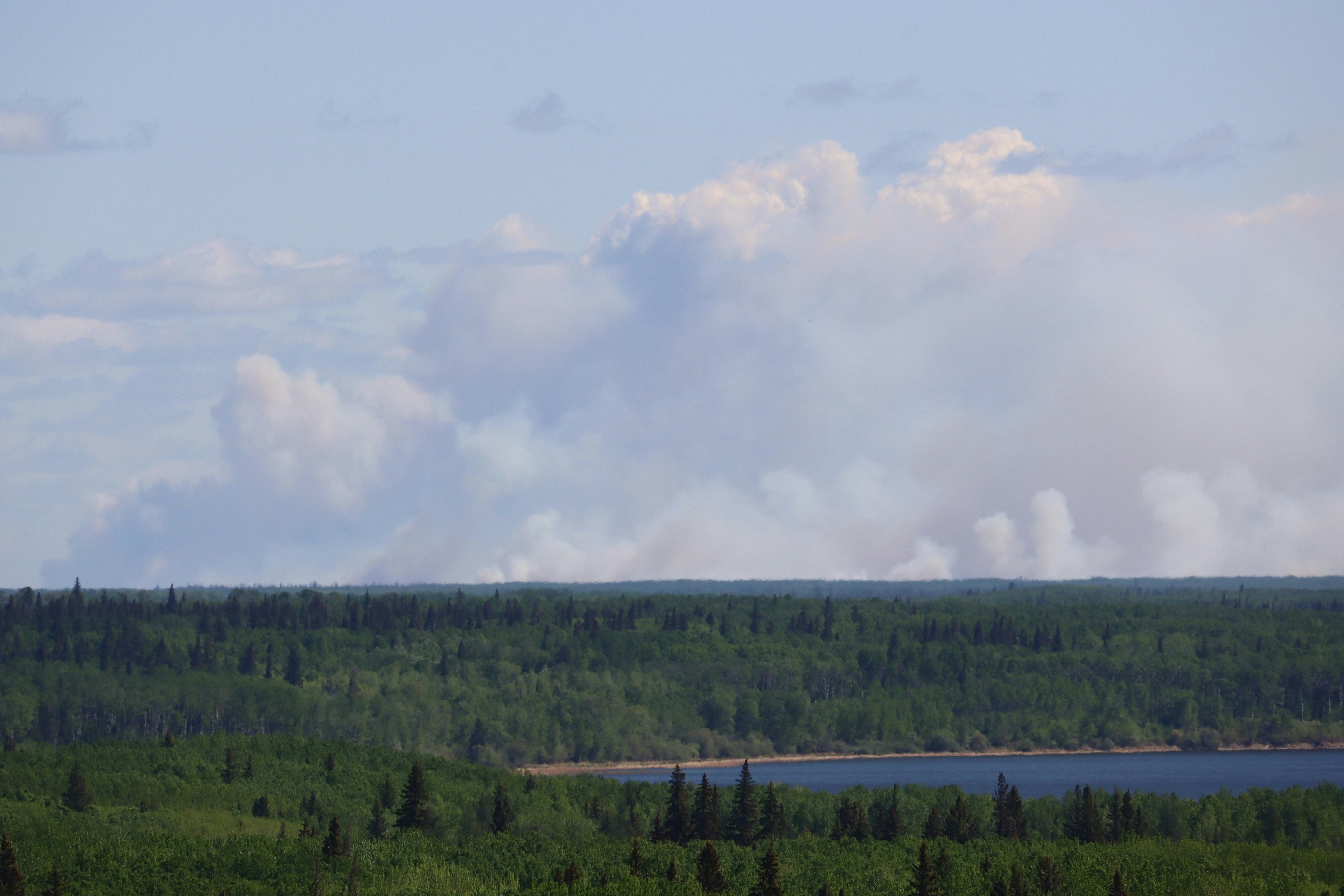
Forested landscapes are transformed into continuously monitored, digitally connected ecosystems through integrated ground sensors and autonomous aerial systems. Under-canopy sensor networks detect early environmental anomalies, while autonomous drones provide rapid verification and precise localization.
Real-time data flows into a unified intelligence platform, creating a live operational view of forest conditions as risks emerge and evolve. This approach enables earlier detection, faster decision-making, and more informed land and resource management across large, remote, and high-risk environments.
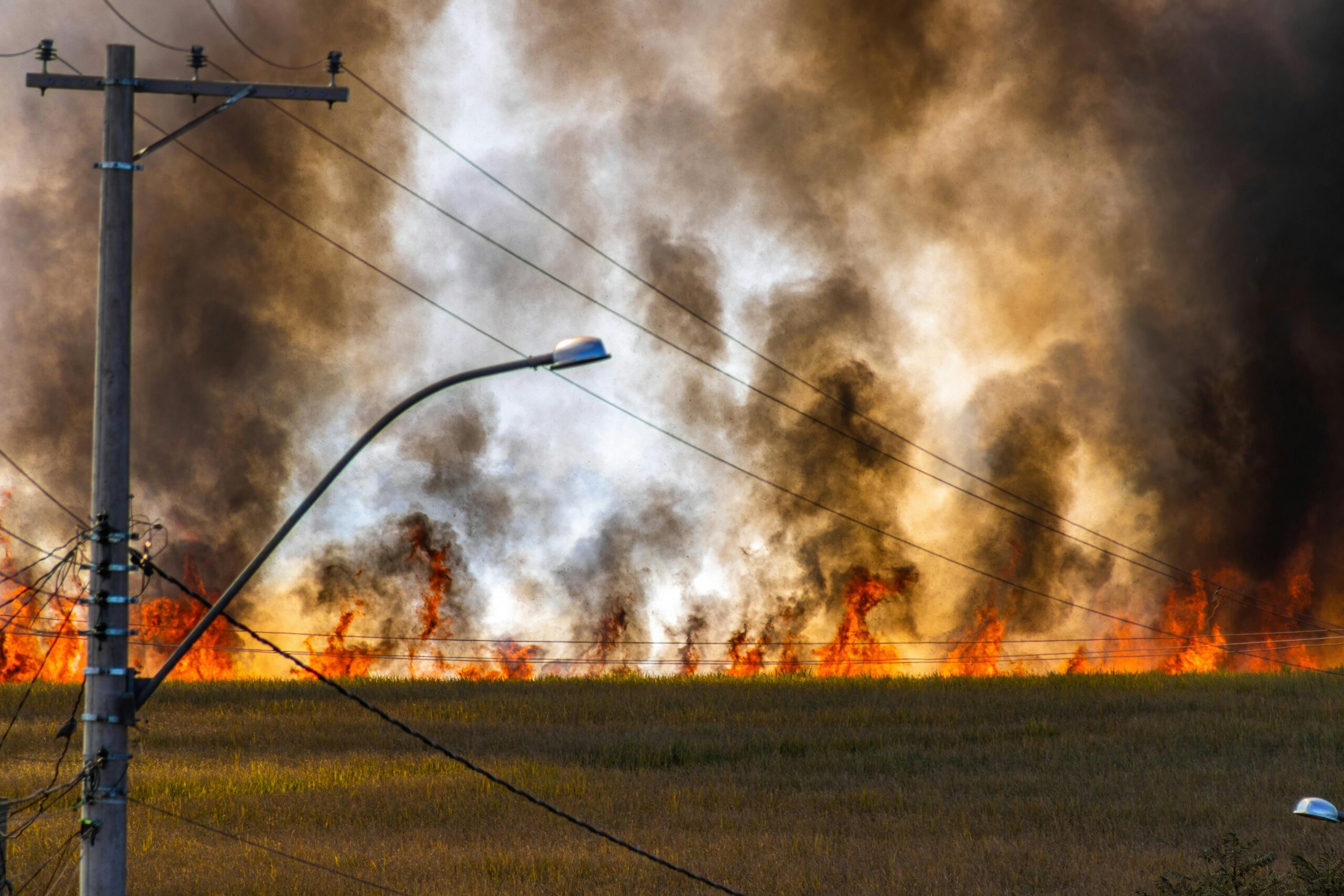
Infrastructure & Utility Protection
Critical infrastructure such as power transmission lines, pipelines, and transportation corridors is monitored continuously to identify early-stage wildfire threats. Changes in surrounding environmental conditions are detected automatically, triggering alerts before risks escalate. This proactive monitoring approach reduces exposure to fire-related disruptions and strengthens operational resilience. By identifying potential hazards in advance, essential assets and nearby communities are protected from the cascading effects of uncontrolled wildfire activity.
Real-time data flows into a unified intelligence platform, creating a live operational view of forest conditions as risks emerge and evolve. This approach enables earlier detection, faster decision-making, and more informed land and resource management across large, remote, and high-risk environments.
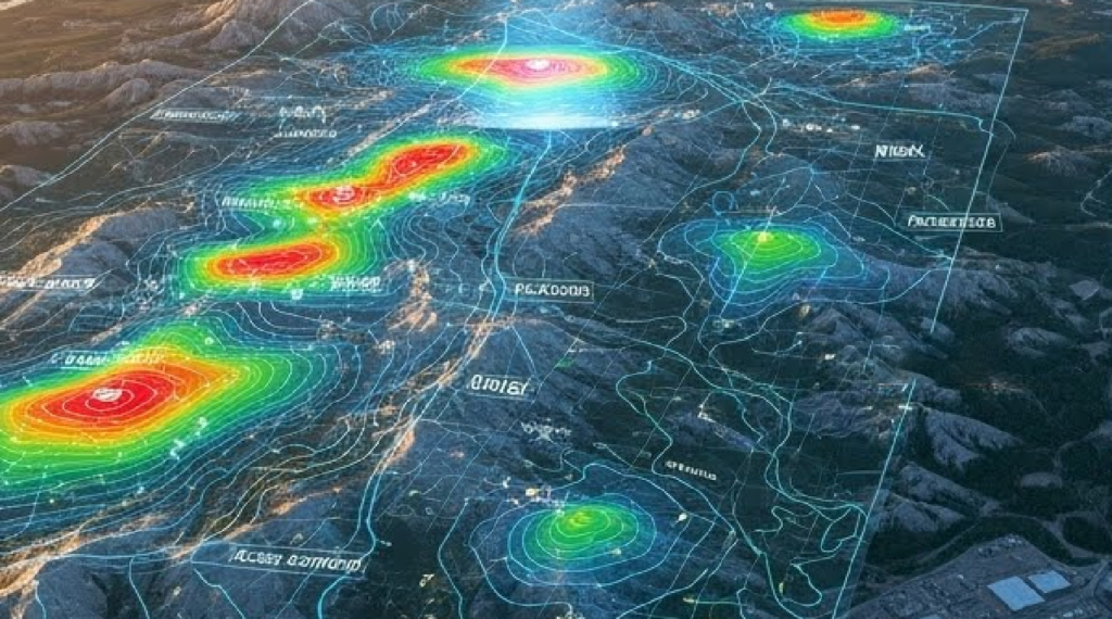
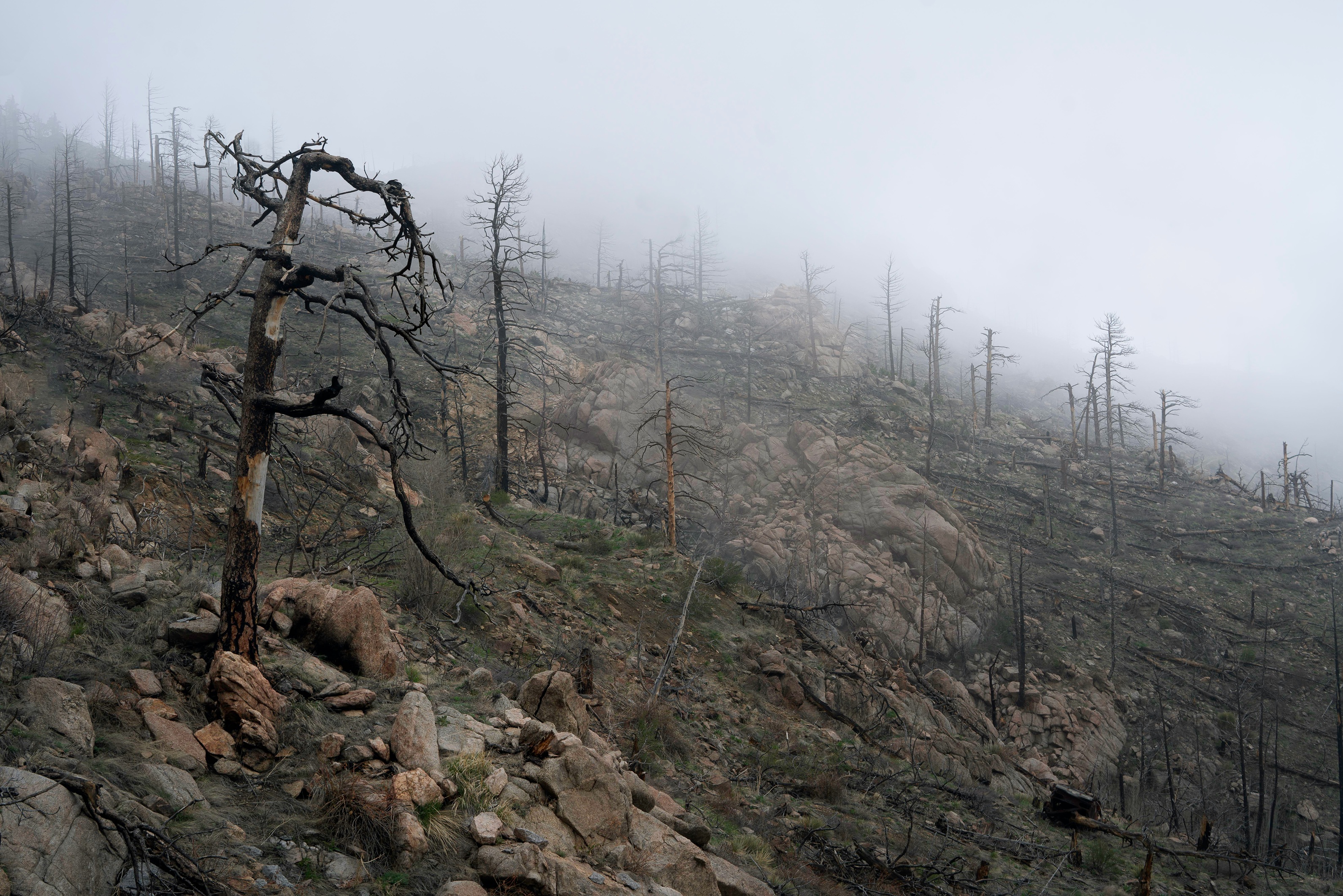
Environmental Monitoring & Risk Forecasting
Environmental conditions across forests and natural landscapes are captured through long-term sensor data collection. Trends in temperature, humidity, gases, smoke, and particulates are analyzed by AI models to forecast periods of elevated wildfire risk. As climate-driven changes shape the environment, ecosystem health becomes easier to observe and quantify. This continuous data record supports improved decision-making, offering measurable insight into evolving conditions and enabling more strategic planning for land stewardship and fire resilience.
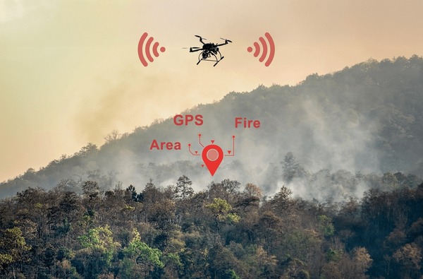
Autonomous Drone Fire Verification
When potential fire activity is detected, autonomous drones are deployed to investigate remote or inaccessible terrain without human intervention. These aircraft gather thermal and optical imagery, verify the presence of fire, and return precise location data. Roadless, mountainous, or hazardous areas are surveyed efficiently from the air, ensuring confirmation can occur even when ground access is limited or unsafe. By providing accurate situational intelligence, these drones help streamline the early stages of wildfire response.
Real-Time Wildfire Intelligence Platform
The Real-Time Wildfire Intelligence Platform consolidates all sensor and drone data into a unified operational dashboard, producing continuous situational awareness across large and remote territories. Key capabilities include:
Live visualization of sensor networks, detection events, and fire locations
utomated alerts delivered through email, SMS, and integrated APIs
Instant access to thermal, visual, and environmental data streams
Centralized management of all wildfire incidents in one interface
Long-term data storage for trend analysis and environmental reporting
Scalable architecture adaptable to various industries and land types
Full white-label customization to align with organizational branding.
Get Involved Today
Join efforts to protect forests through early detection, real-time intelligence, and resilient environmental monitoring.
Signup our newsletter to get update information, news & insight
Enviro Grid delivers early wildfire intelligence through connected sensors, autonomous drones, and real-time environmental data. Designed for remote and high-risk landscapes, the platform enables faster detection, precise localization, and informed response.